Bridger Ridge Trail - Using GPS to aid Search & Rescue
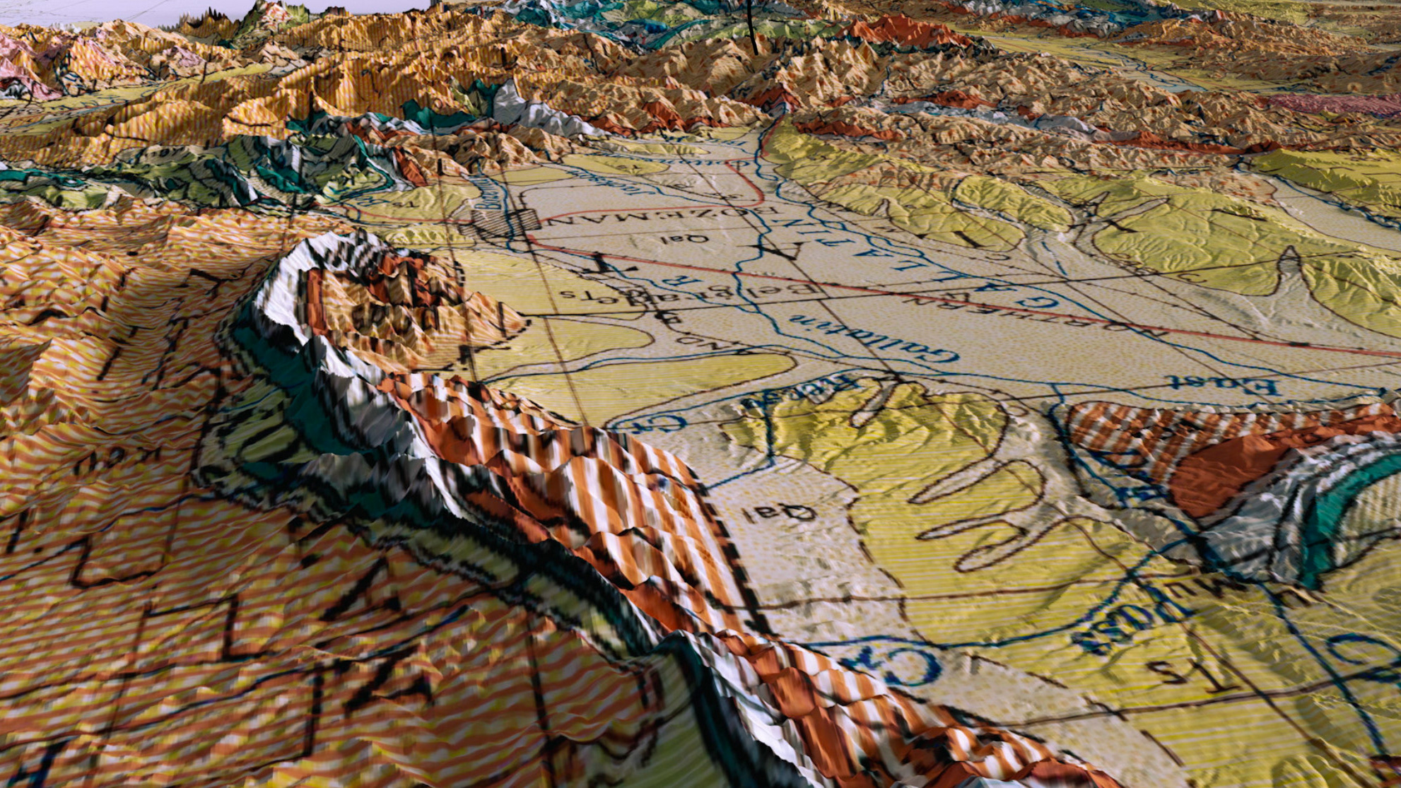
The Bridger Ridge trail is used for many recreational activities but there has been no previous GPS data along the full extent of the ridge trail. The objective of this project was to provide accurate data of the Bridger Ridge trail for search and rescue efforts. This data will be used to clarify search and rescue routes of the trail for emergency personnel, to identify the most efficient routes in the incident of a search and rescue, and be available for recreational use. Factors will consider the trail width for emergency vehicle use, signage, trail surface type, and offshoots along the trail. We worked with Bozeman Search and Rescue to collect GPS data and map the Bridger Ridge trail. We used trimble gps equipment and recorded features along the 27 mile trail spanning from the M trailhead to Fairy Lake. Our team created an extensive geodatabase for signage, shelters, offshoots to provide valuable, sub meter accurate data that can be used by search and rescue to aid in their operations.
You may also like
