Topobathy of San Francisco
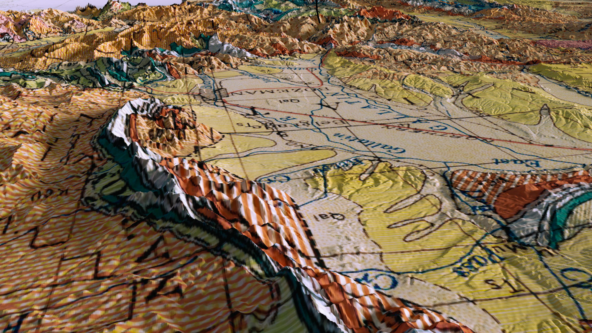
This map is a composite of multiple 1956 quadrangles of the San Francisco Area. The map uses a 3D topobathy model of the region to highlight the terrain of the Bay Area.
You may also like
Merging Mid-Century Maps With Modern Data
2022
Enhancing geological maps in 3D
2021
Streams of Yellowstone National Park
2022
Topographic Map of Lake Chelan
2020
Montana Watersheds
2020
A Microcosm of California's Habitats
2022
Camp Susque Recreational MAp
2021
3D Animations
2022
Guyana's Kaiture Falls National Park
2020
Hydrologic Map of the United States
2022