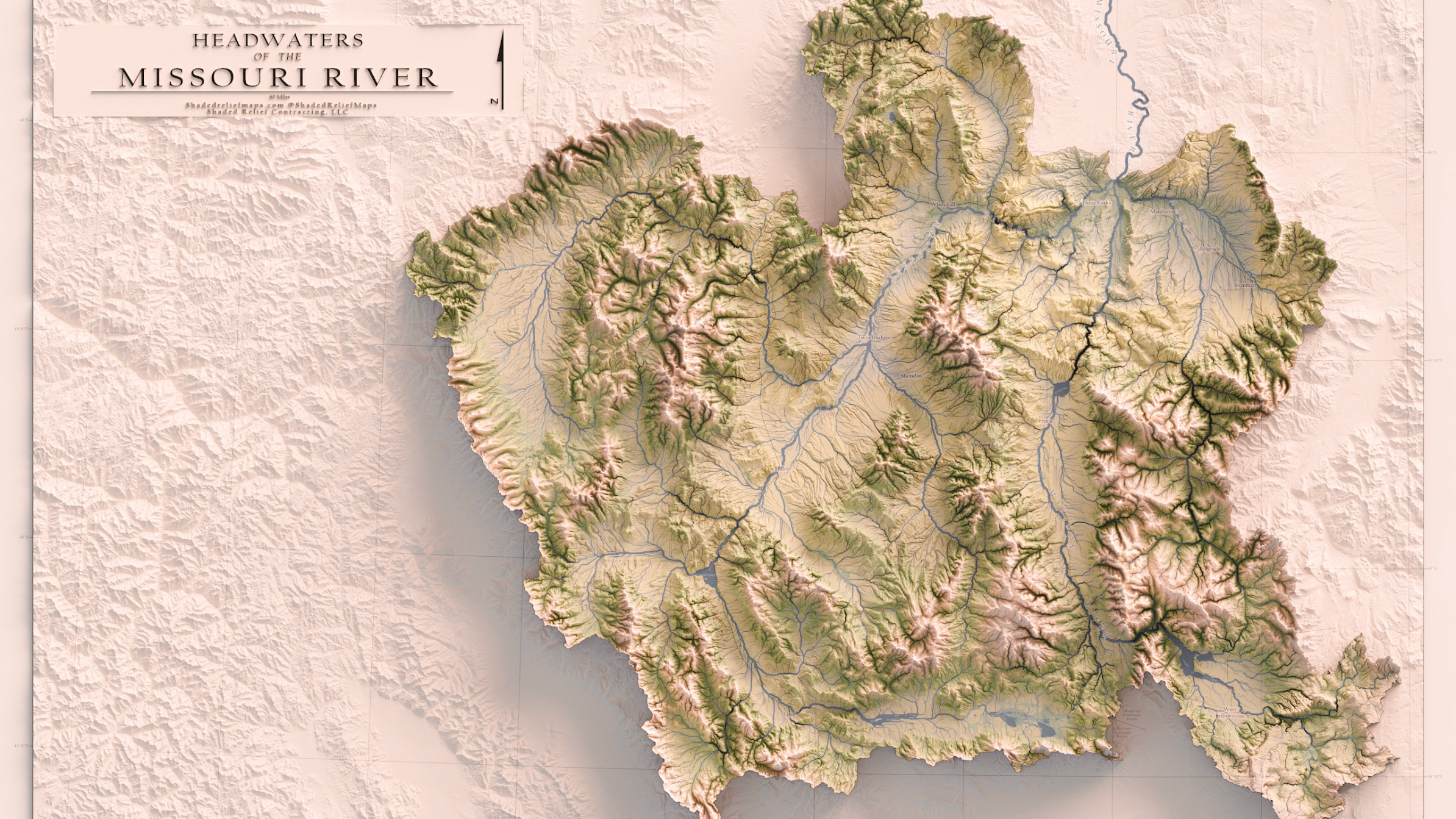
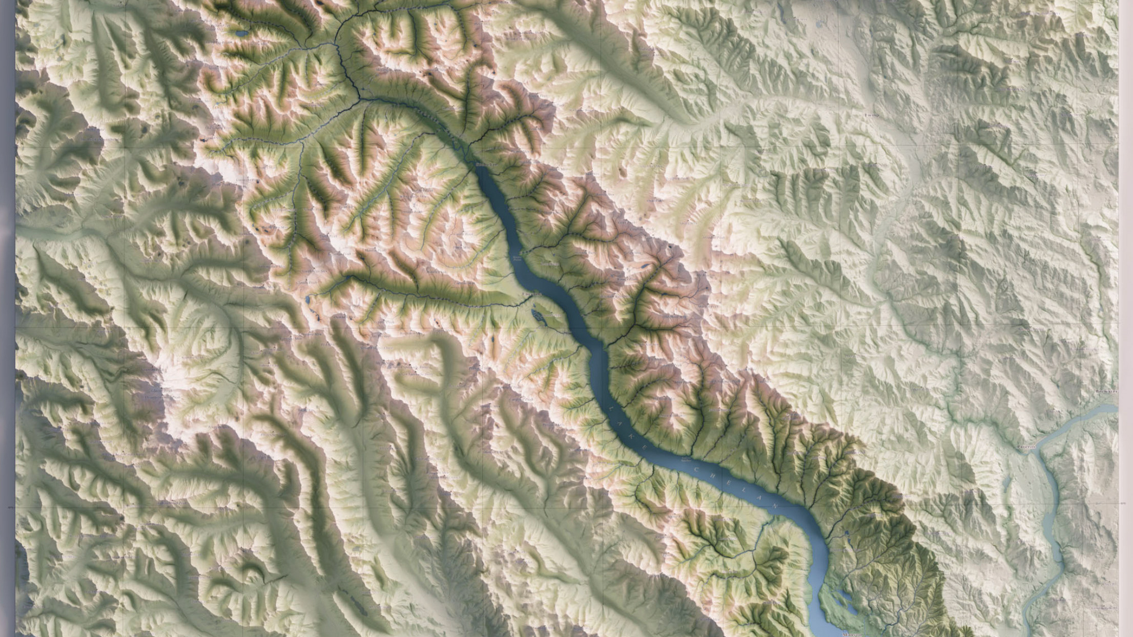
Geologic Map of Montana - 1954 - Montana Bureau of Mines and Geology

Originally as two separate maps (East and West portions of the state) that I personally scanned in from Montana State University's Library, I composited the two together using Photoshop. I lined up the digital scans using control points, and later used color selection tools to match the basemaps that were aged after decades in storage. I color corrected and cleaned up the map margins from scuffs and stains before georeferencing the composited map in ArcPro as one seamless composite.
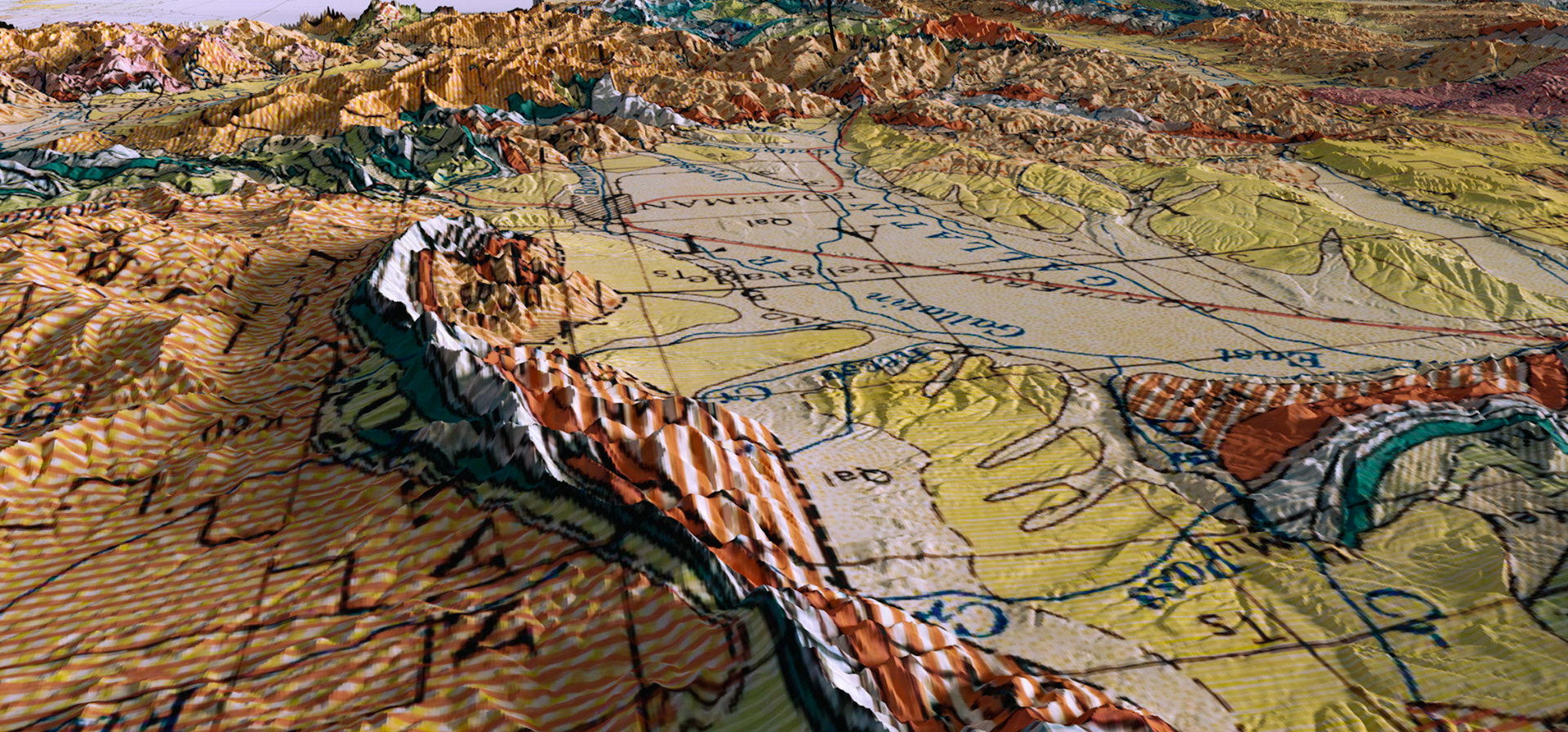
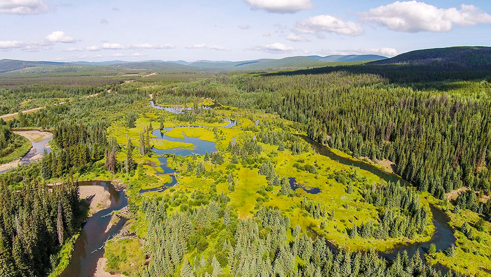
An oblique view of the topography in Gallatin Valley with the underlying geology to demonstrate the 3D models present in each of the renders.
Geological Map of The Bob Marshall Wilderness and Adjacent Study Areas - 1993 - Department of the Interior United States Geological Study
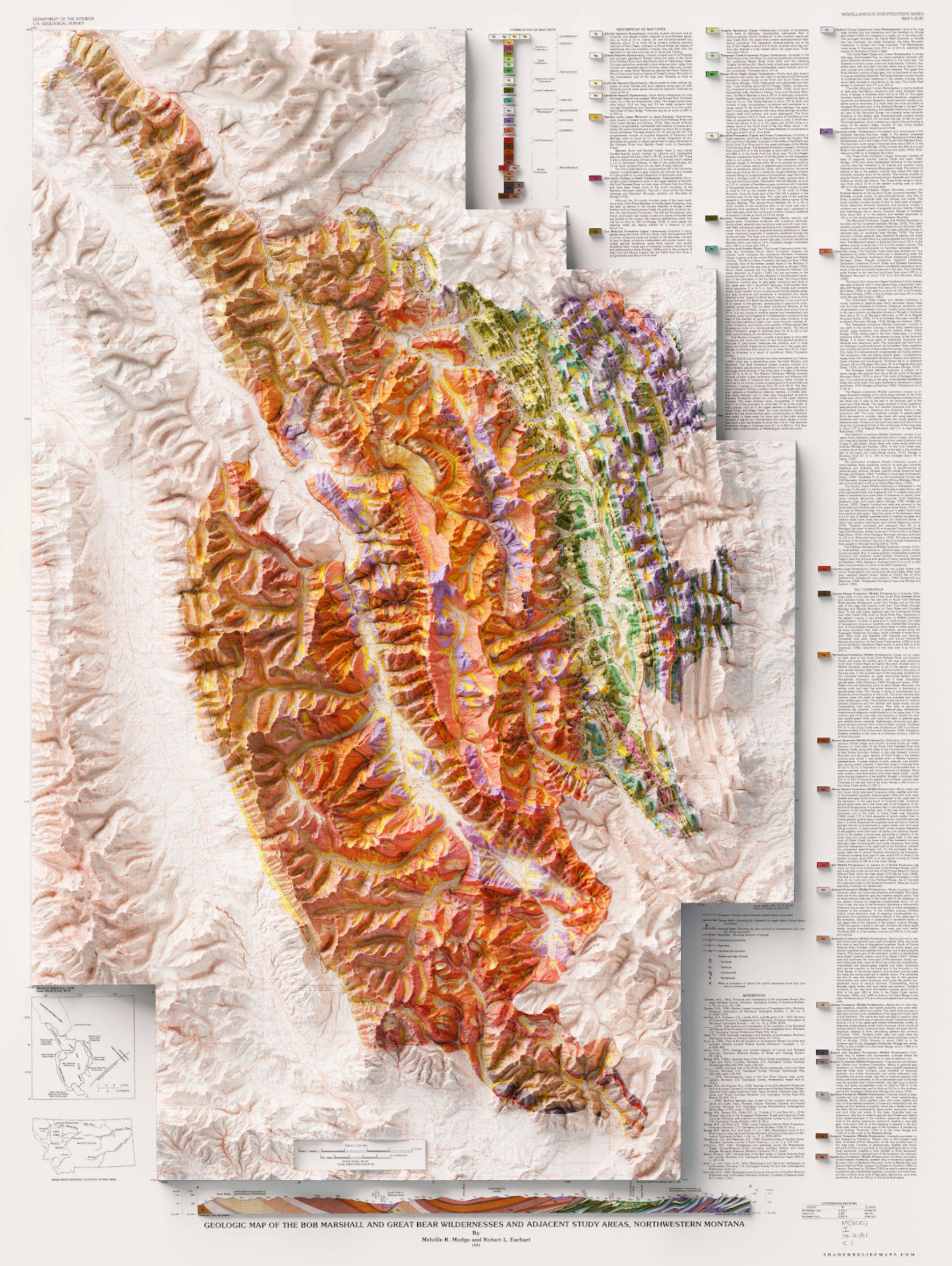
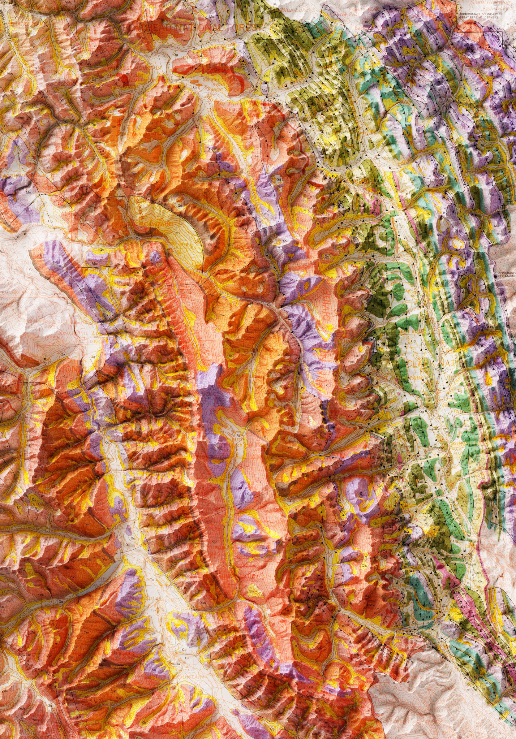
This geological map isn't particularly old but it is beautiful. The contrast of geologic units in the western flank of the wilderness against the eastern flank is why I love utilizing the terrain visualization that is possible using blender. The original map is great to look at, but with the added depth and shading, utilizing blender brings out a whole other dimension to understanding geologic maps.
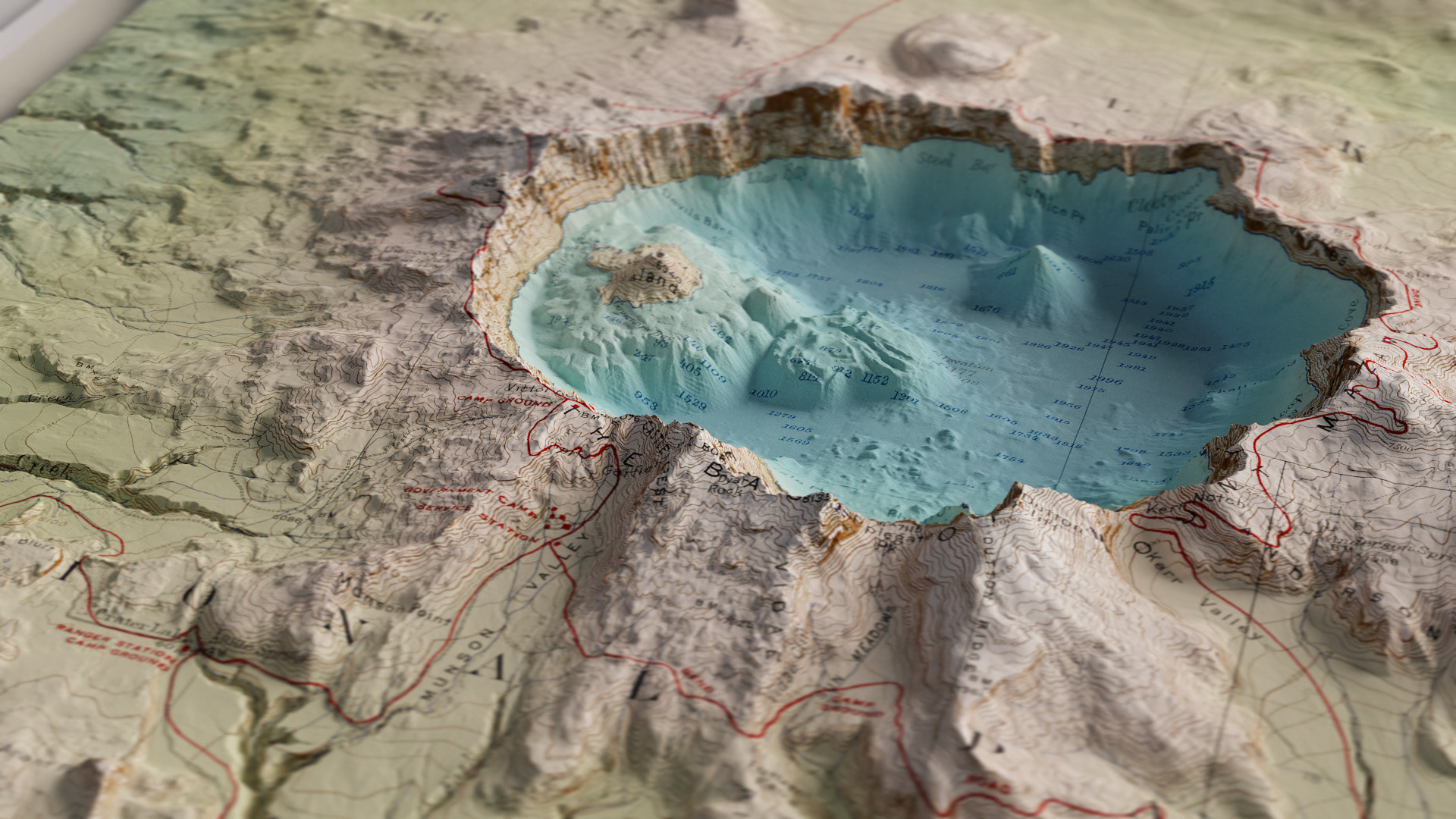
Geologic and Topographic Map - Island of Maui, Hawaii - 1942 - Geological Survey United States Department of the Interior
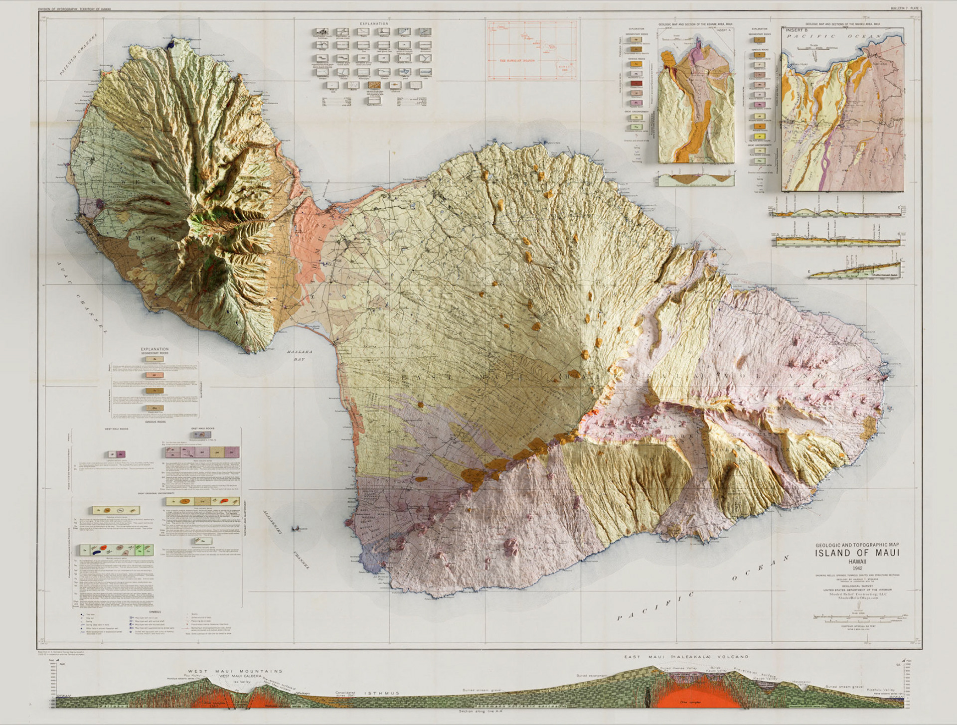
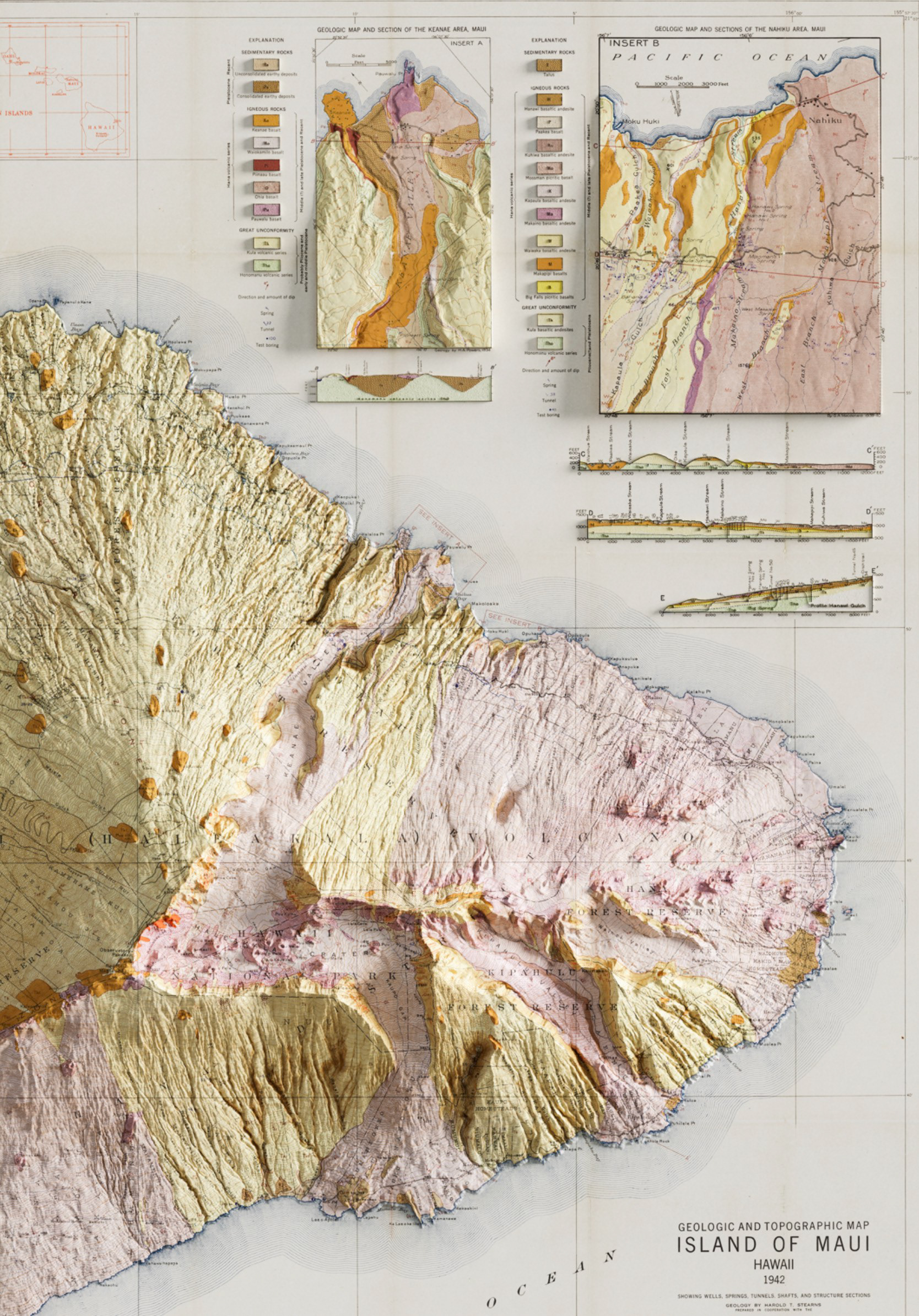
There is a great collection of geologic maps for each of the Hawaiian Islands from the 1940s-50s produced by the USGS. This map of Maui is one of my favorites that I rendered in 3D. There is so much detail that is enhanced using elevation data in maps such as this one, with extra detail being brought into features such as lava flows and cinder cones on the island.