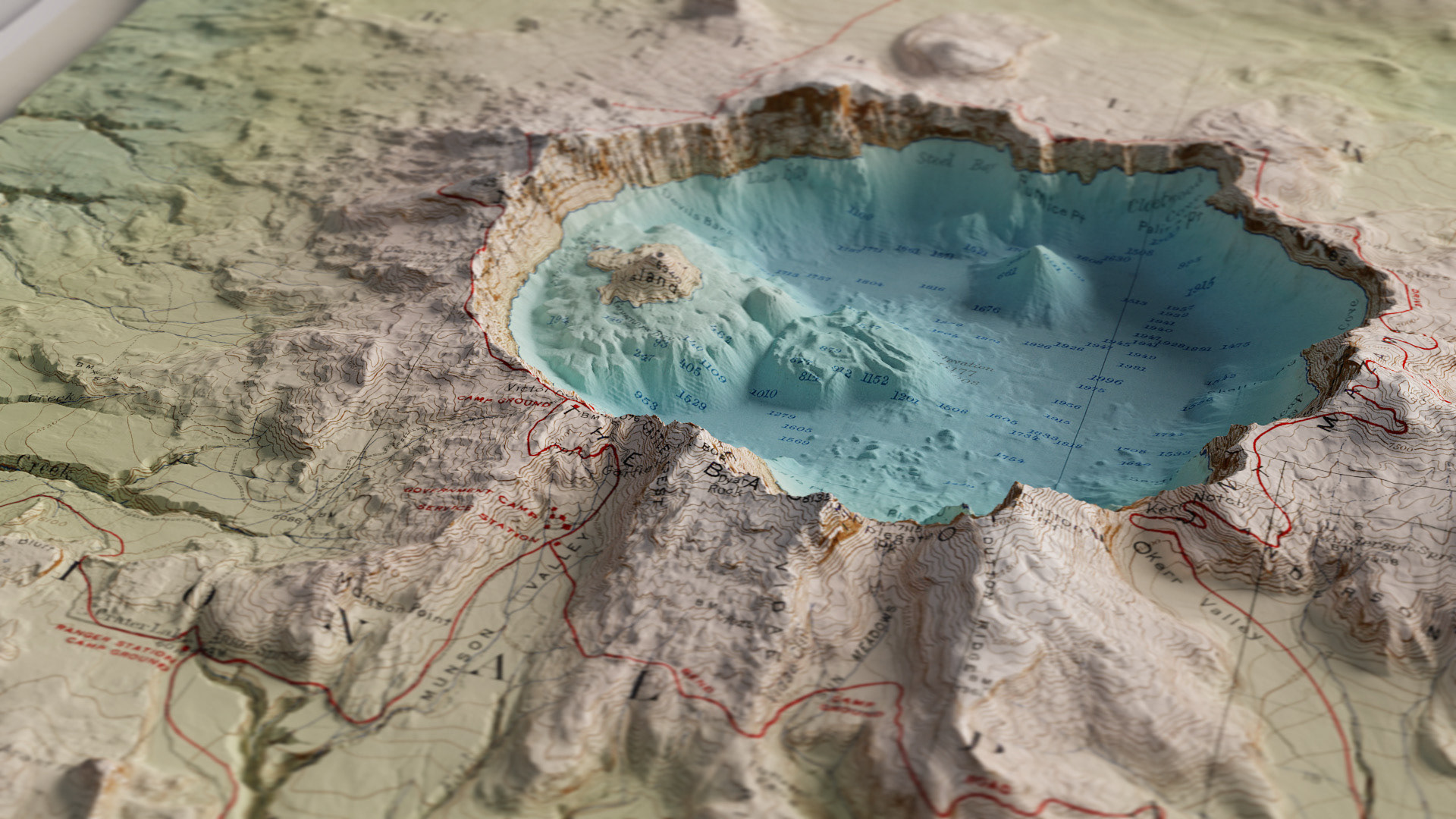
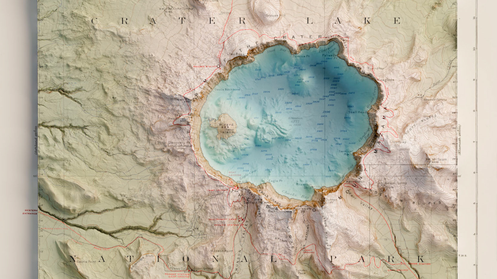
The great thing about working in blender is that ultimately you are always working in a full 3D environment, allowing for the option to create oblique perspectives on maps. One of my projects I recently completed was creating this 3D animation of Crater Lake. The basemap is a 1911 map that I digitally recolored and added topographic data to earlier in the year. Details on this can be found on a separate project page.
This animation transitions the original 1911 USGS basemap of the national park to the digital map I have produced today. After transitioning from vintage to modern, the camera orbits Crater Lake at the same speed that the light angle move, producing constantly changing shadows that illuminate the terrain at multiple angles, while keeping the shadows consistent from the camera's perspective.