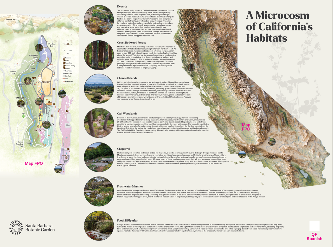
Earlier this year I created a map of California's hydrology and topography showcasing the state's different watersheds and drainage basins. I was later commissioned by the Santa Barbara Botanical Gardens to collaborate with them by adapting the map to highlight the state's diverse ecological regions and the unique flora and fauna that populate these regions.