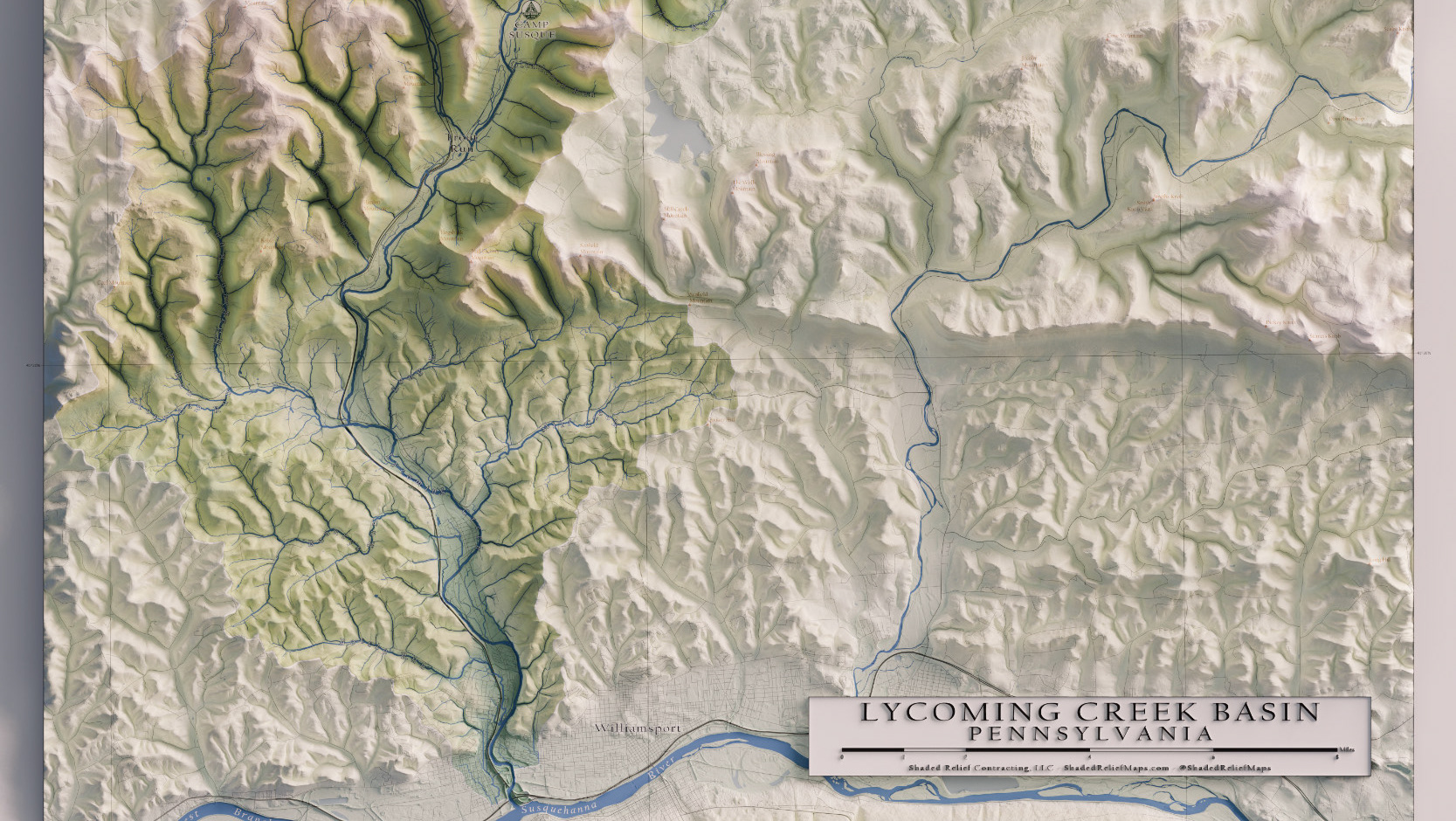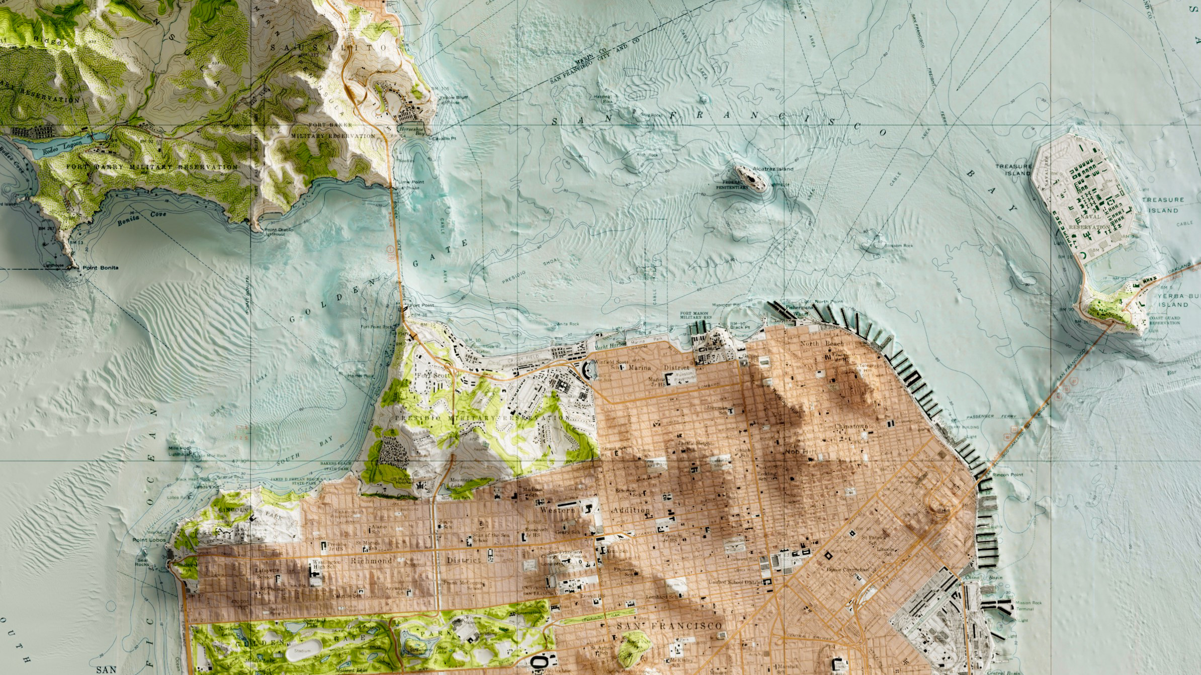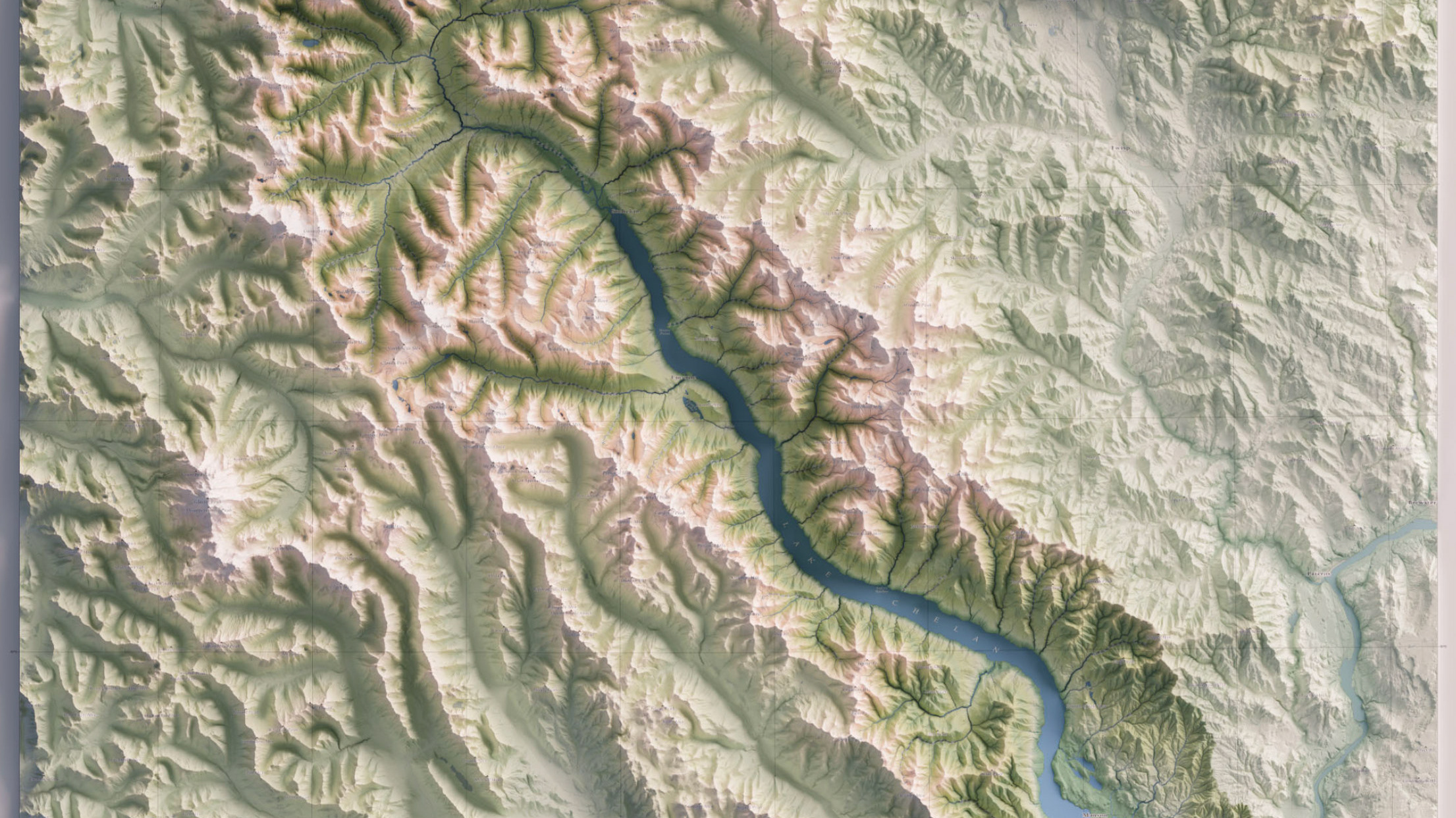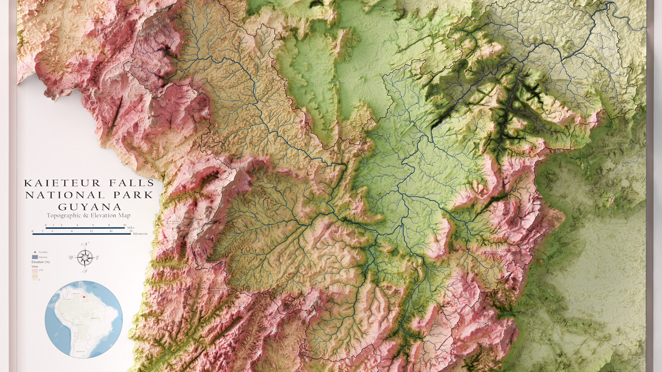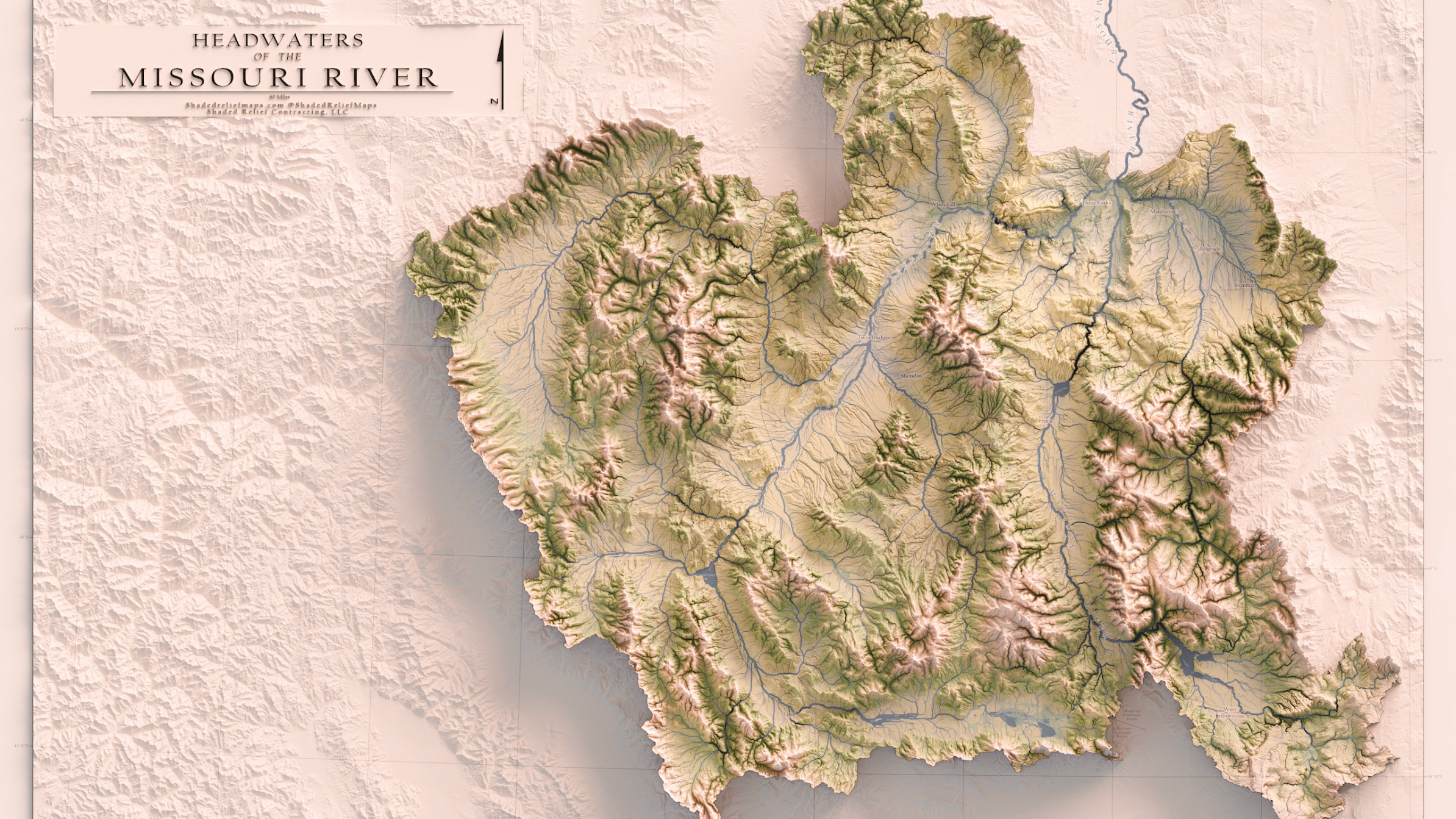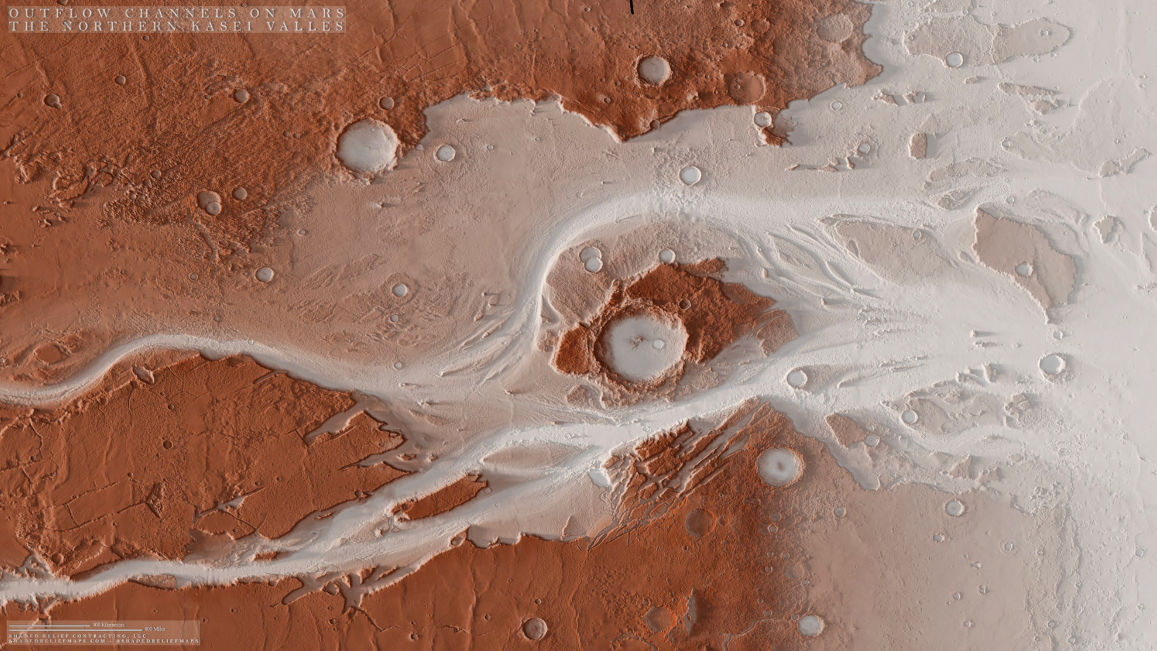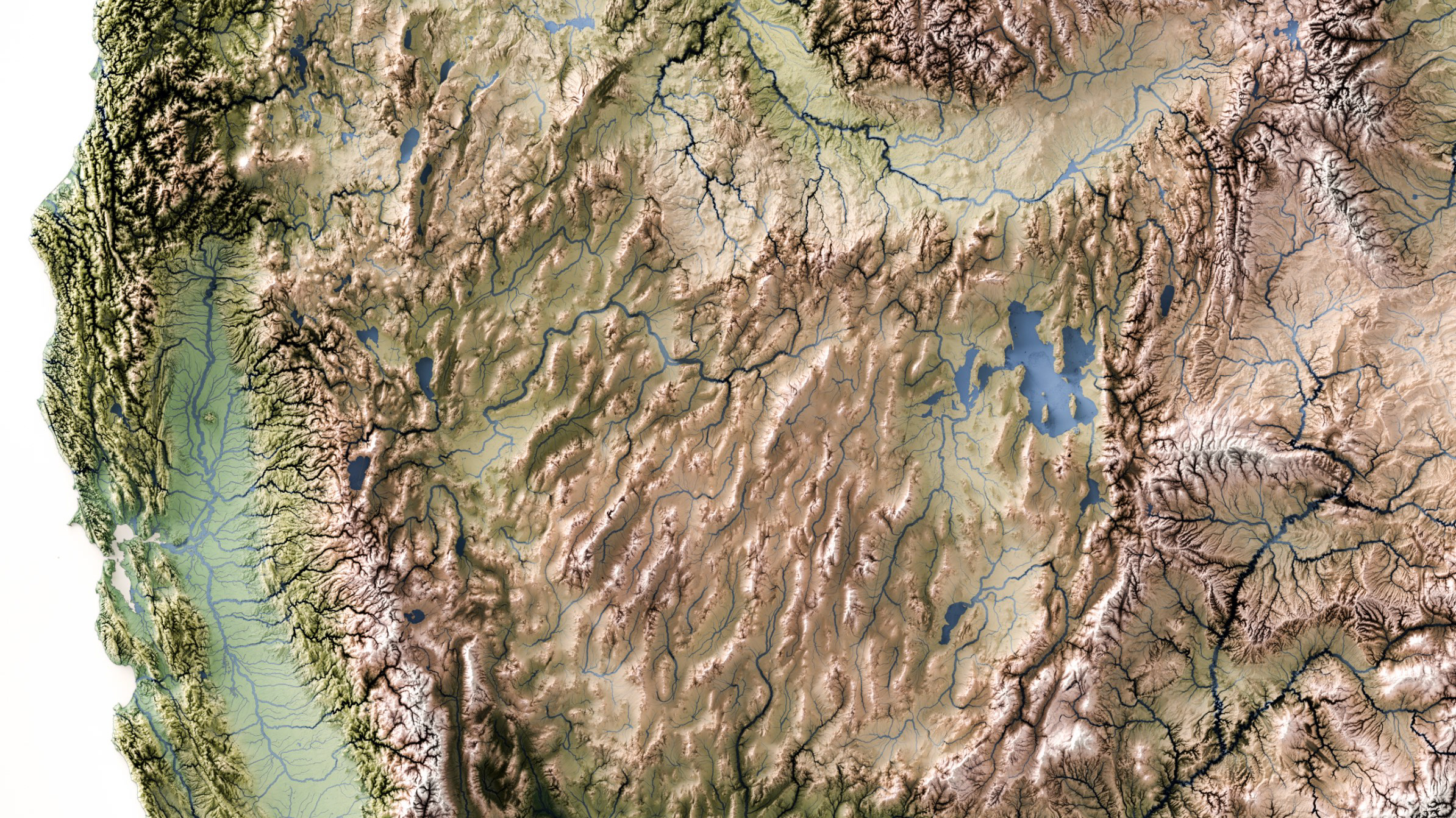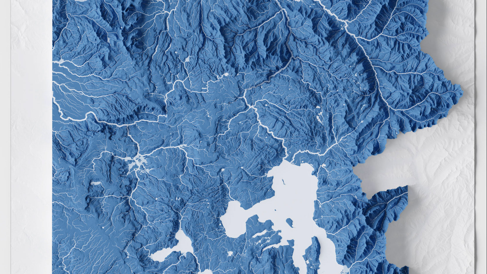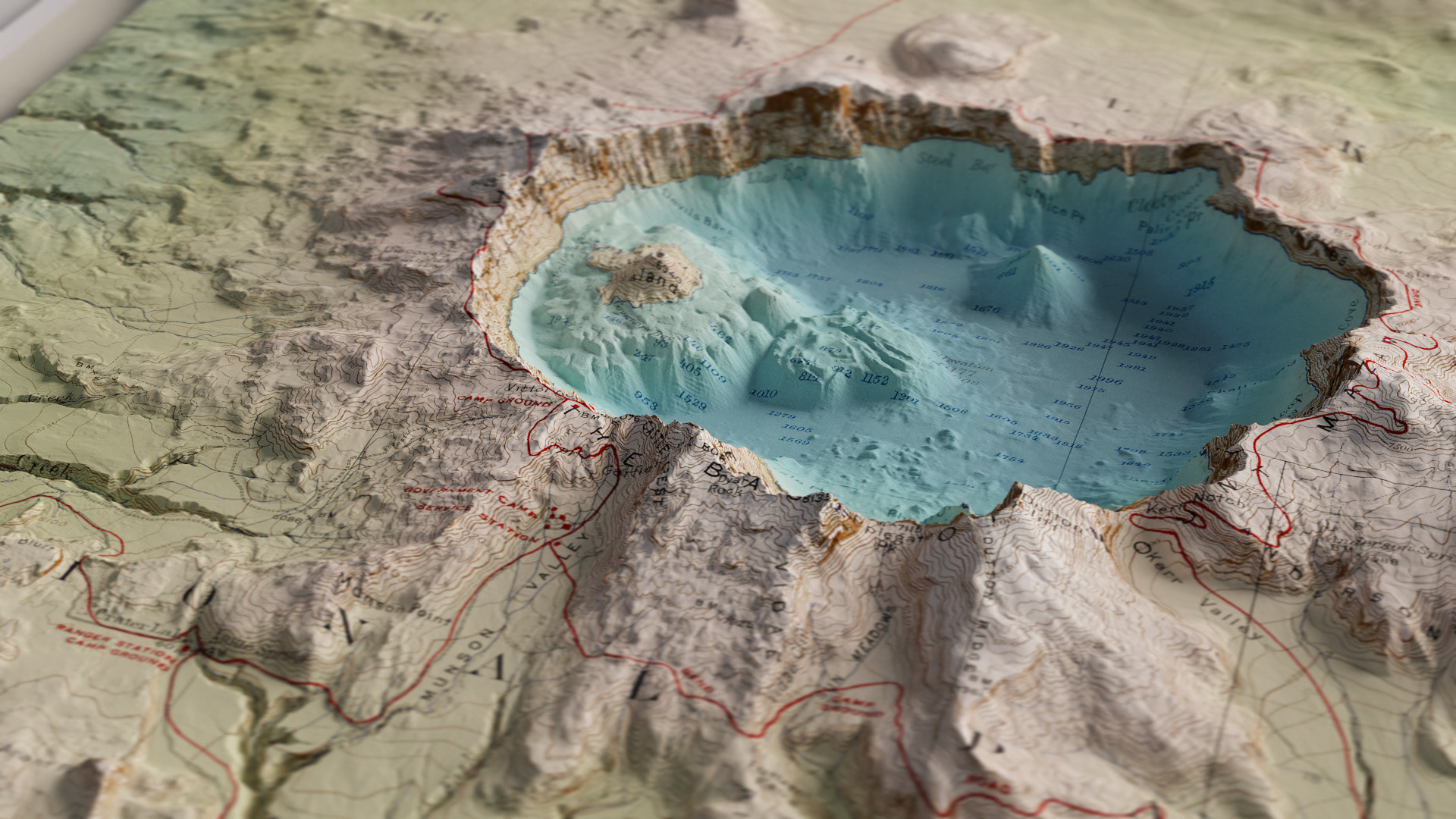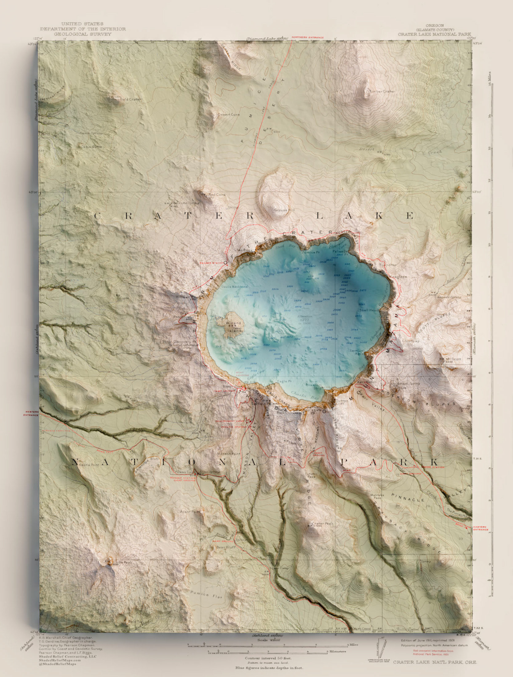
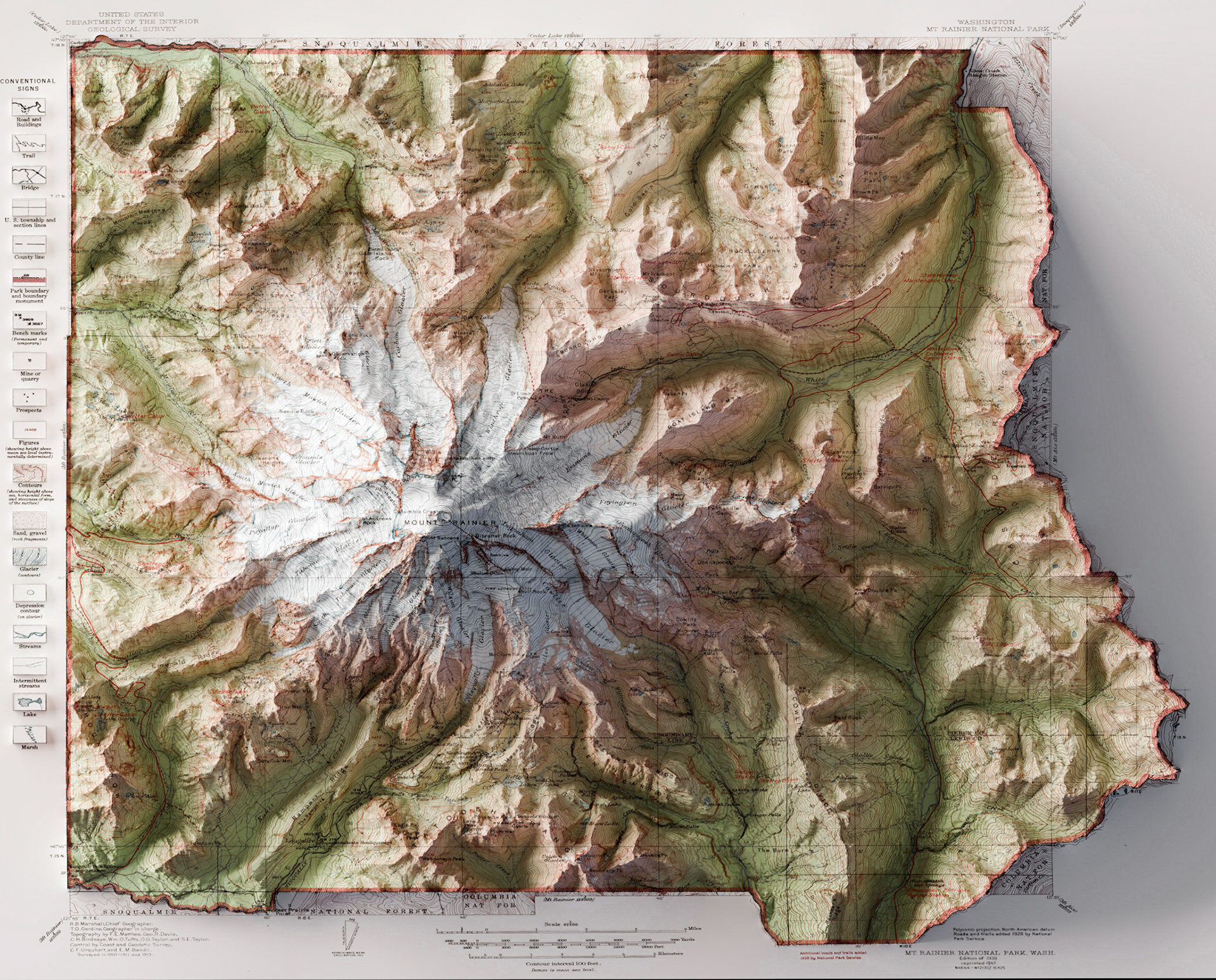

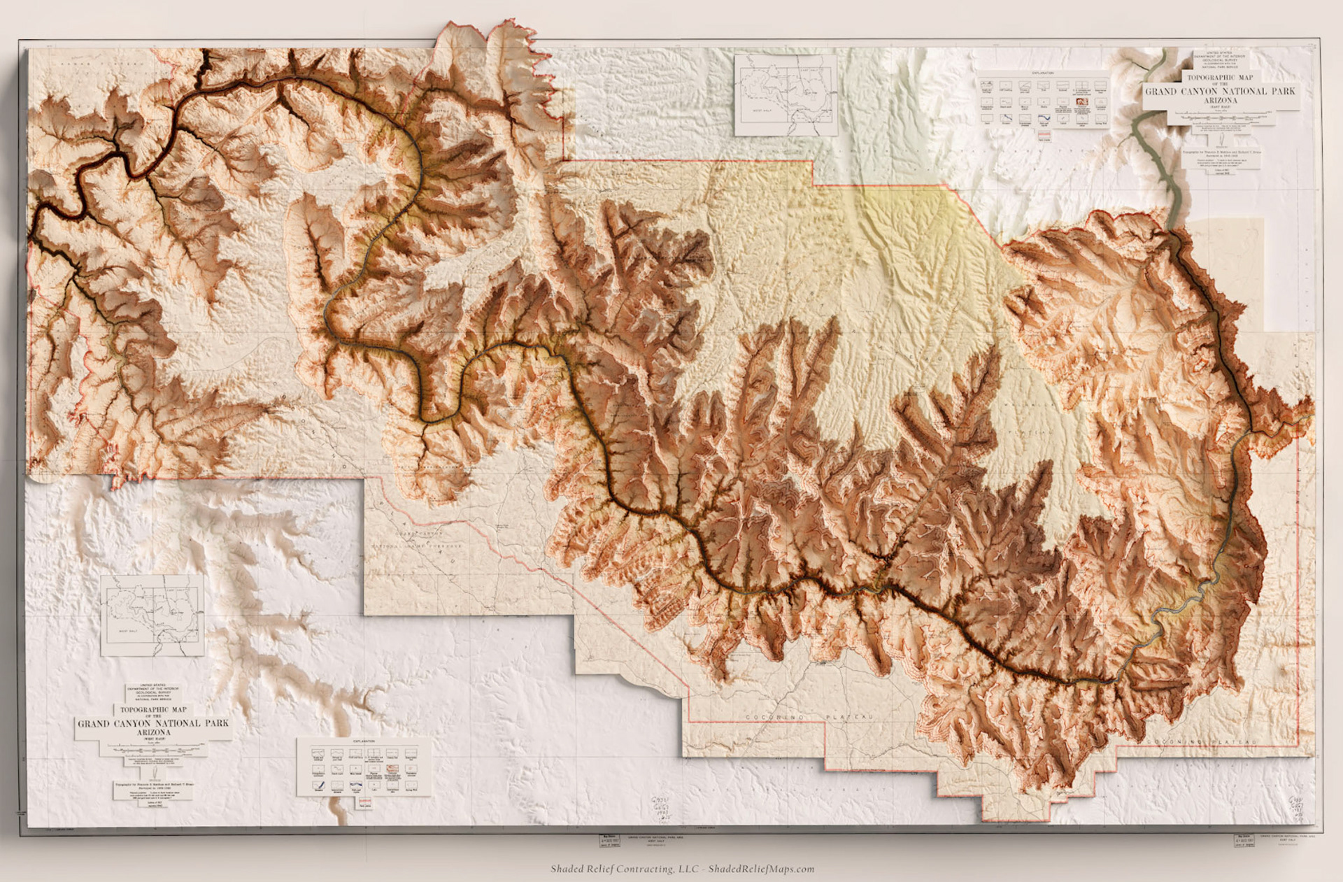
Using a combination of Photoshop, Blender and ArcPro I created a unique method for isolating features from existing topomaps and using them in conjuction with modern data and terrain visualizations. In essence, this allows me to take the best featuers of maps such as labels and the highly stylized aesthetic of older vintage maps, and merge them with hyspometric tints and other highly accurate modern data. Below are a few examples of how this methodology can be applied to older national park maps.